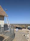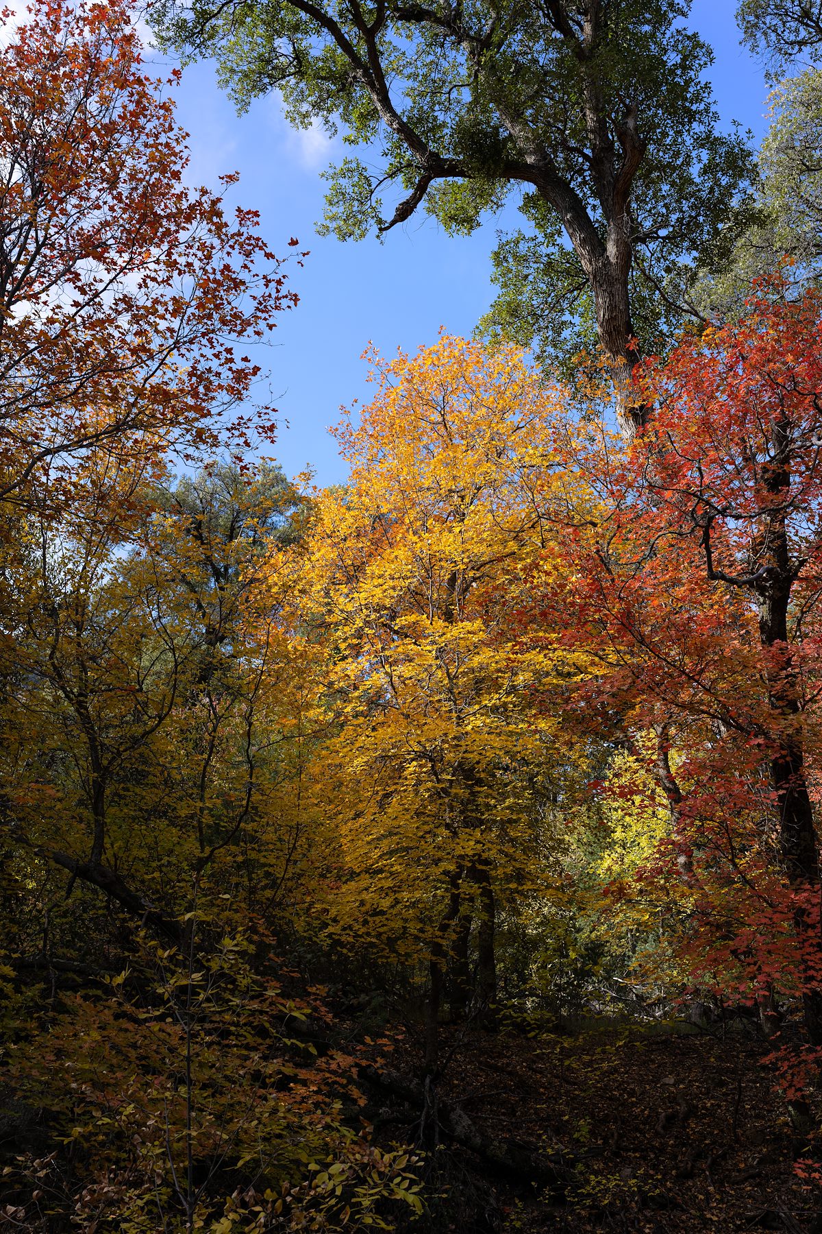
2022... This year started with a week long septic install and ends with COVID - questionable bookends but there were lots of great times and great people in-between. Notes from the end of the year.
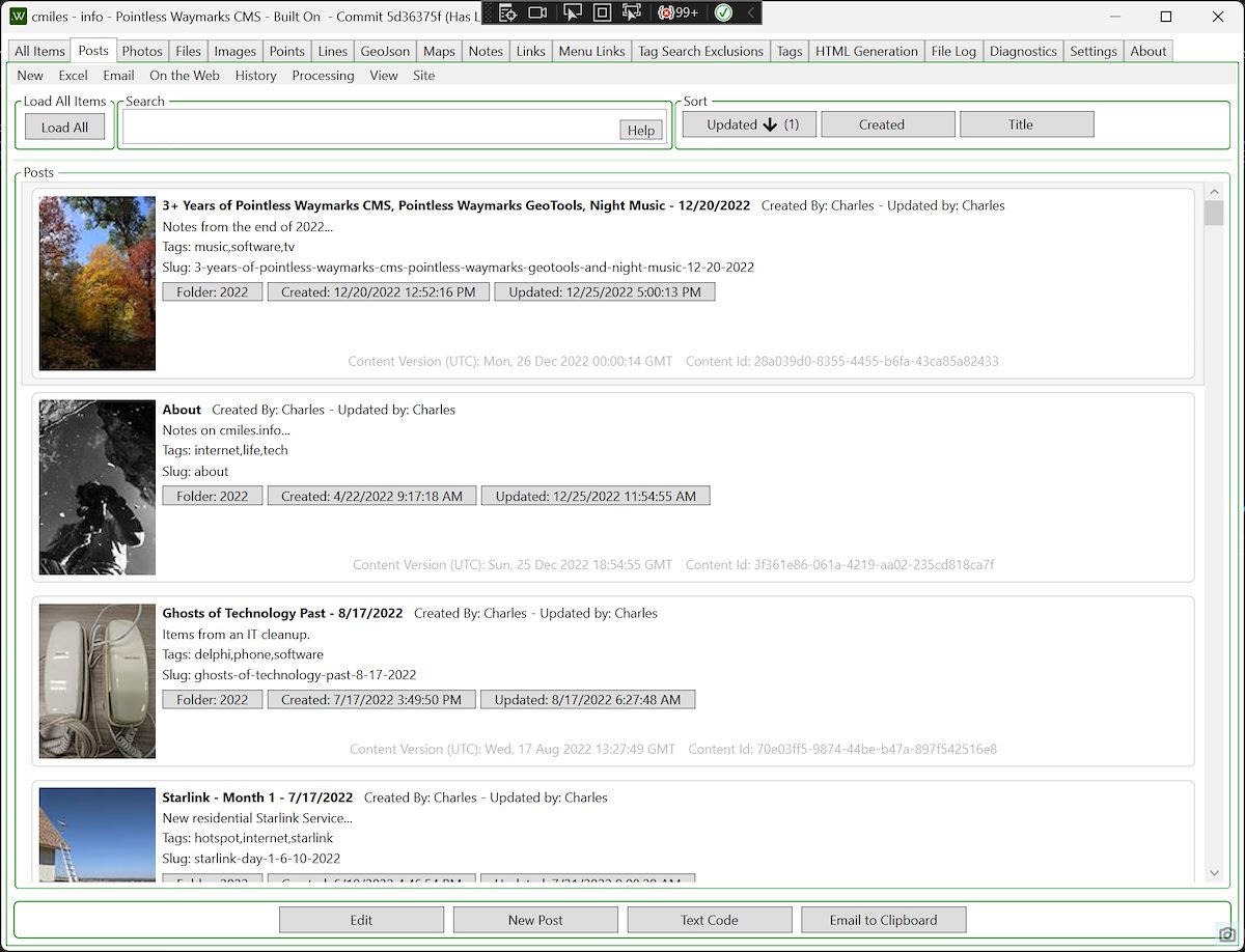
I've been working on the Pointless Waymarks CMS for over 3 years! I currently use it to create and maintain this site, Pointless Waymarks and 2 private sites. This is by far the largest and longest-lived personal software project I have worked on and I am excited to continue development in 2023! The targets/goals/setup of the project still seem like good choices to me:
- Desktop Software: This continues to be a good choice for zero cost personal projects that are fully functional offline - three years in and all things considered I'm glad Pointless Waymarks is a WPF Windows Desktop Application.
- Static Sites with Simple Presentations: The sites that I am creating and maintaining with the Pointless Waymarks software are purely personal - no growth goals or investors, no need to be on-trend. I continue to suspect that static sites with simple presentations are a great bet for long term durability with minimal maintenance.
- Offline Viewing: with a custom way to organize and present content why limit the output to online presentation - the project includes a simple offline viewer.
- Custom Software: There are a practically infinite number of programs, sites and frameworks that you can use to create websites - but I remain very happy with the decision to write custom software. It can be surprisingly nice to use software that is actually 'for you'.
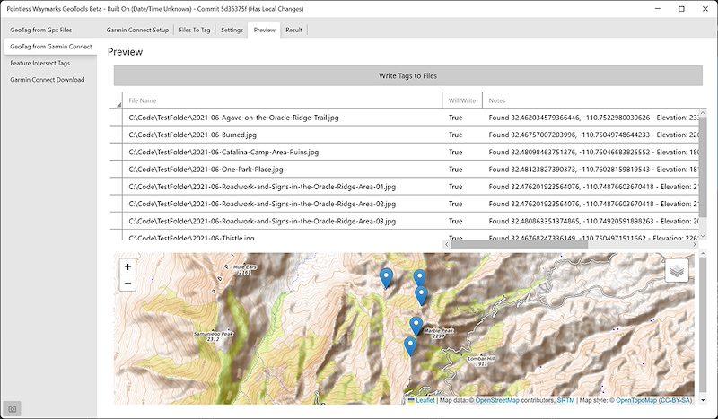
Late this year I added a GeoTools GUI to the Pointless Waymarks Project. This program is centered around geotagging photographs and adding tags automatically based on locations.
My interest in geotagging photographs has waxed and waned over the years. Part of the reason that my interest dwindled is because I believe that it is rarely appropriate to make public the exact location of a landscape photograph. But more recently I have been convinced that having the GPS location of a photograph for personal use is well worth the cost of having to carefully manage what metadata is exported when publishing an image.
Colliding with my renewed interest in geotagging is my long term use of Garmin Connect. In addition to geotagging from local .gpx files the GeoTools program can use an Unofficial Garmin Connect Client to geotag photographs.
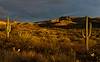
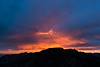
I have added tags (keywords) to at least 8,000 photographs by hand over the last two decades. Especially in the last decade I have tried to include location information including land ownership and management agency, for example: 'Santa Catalina Mountains', 'San Pedro River Valley', 'Coronado National Forest', 'Zion National Park'. For the most part I have remembered to apply these tags and have applied them correctly - but just like all 'by hand' data entry no matter how much you know, care and try there will always be mistakes...
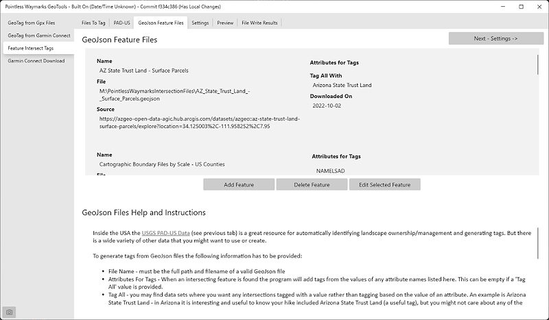
After working with more geospatial data this year it occurred to me that tagging locations - if the photograph is geotagged - is really better done by a computer! I'm based in the Southwestern United States and there is quite a bit of publicly available data about Public Lands - a great example of the available information is the Protected Areas Database (PAD-US) from the U.S. Geological Survey.
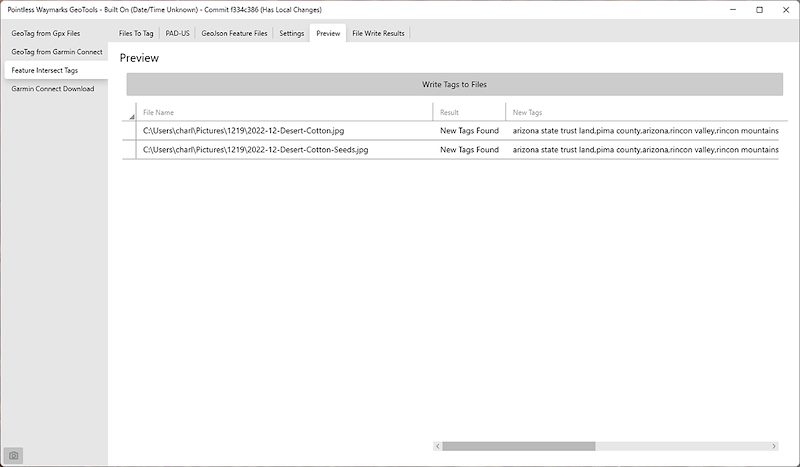
How it works:
- You setup reference GeoJson files for the program to use - including telling it which properties you want to become tags
- You select the photographs to tag
- The program scans the GeoJson files for features that intersect the photograph's location and creates tags from the intersections
The Pointless Waymarks GeoTools Feature Intersect Tagging works offline and it is easy to create your own reference files (perhaps for unofficial areas/names - geojson.io is a good starting point. Because the program scans thru the local GeoJson files on each run it can be relatively slow - but for now it seems 'good enough' considering the amount, quality and value of the tags that it produces.
If you are a C# programmer it is worth knowing that this functionality is fairly simple to code if you leverage the NetTopologySuite.IO.GeoJSON and NetTopologySuite packages.
When I was in High School in the 1990s I saw Night Music on TV - I remember several episodes but the episode that stick in my memory the most over the years is Night Music #210. This episode manages , in 40-some minutes, to show Diamanda Galas, Indigo Girls, Daniel Lanois, Aretha Franklin, Sonic Youth and Evan Lurie & His Tango Band in both individual performances and collaborations! Rewatching random episodes of Night Music in 2022 it strikes me as the most interesting, diverse and authentic media I have ever seen - it is almost beyond belief that this made it onto commercial over-the-air TV - what a marvel...